![]()
![]()
![]()
![]()
![]()
![]()
![]()
Jeff's Mountain Bike Trails: http://www.jeffstrails.com
Disclaimer: Use these trail descriptions at your own risk. Read "Ride Sensibly" for more information.
![]()
|
Jeff's Mountain Bike Trails: http://www.jeffstrails.com Disclaimer: Use these trail descriptions at your own risk. Read "Ride Sensibly" for more information.
|
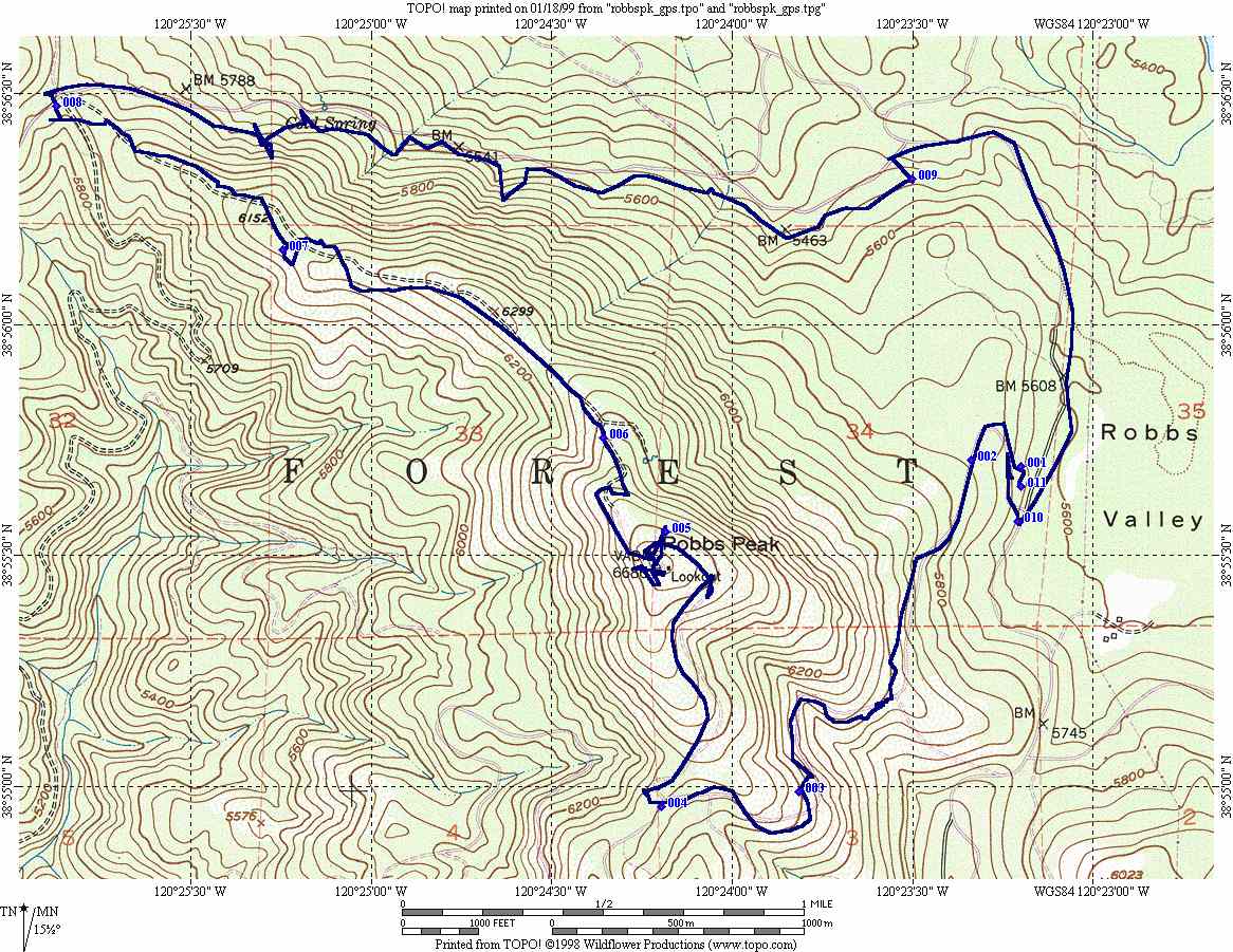
Robbs Peak Northern LoopThis ride is one of many available off of Ice House Road (off highway 50 in the Sierra). This ride starts out with several miles uphill on dirt roads until it tops out at the old fire lookout on top of Robbs Peak. From here, you have a great 360 degree view of the area around you. The rest of the loop back to where you started is mostly downhill or flat, again on dirt roads.
|
|
Comments about this page? Have your own trails to add? Send to: jeffstrails@jeffstrails.com This page last updated 01/19/1999 12:31 PM |