Watson Lake via Tahoe City High School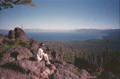
Watson Lake is above and northwest of Lake Tahoe. The ride from Watson Lake out to the
"Lava Rocks" is a fun, single-track ride, and the view of Lake Tahoe from the
Lava Rocks is spectacular. However, there are many ways to get to Watson Lake and the
"lava rocks." This ride describes a loop from Tahoe City, which includes a lot
of climbing on dirt roads to get to the top, and some technical single-track downhill to
get to back.
HTML - Get
the HTML description.
PDF  - Get the
Acrobat(R) version--best if you want to print it.
- Get the
Acrobat(R) version--best if you want to print it.
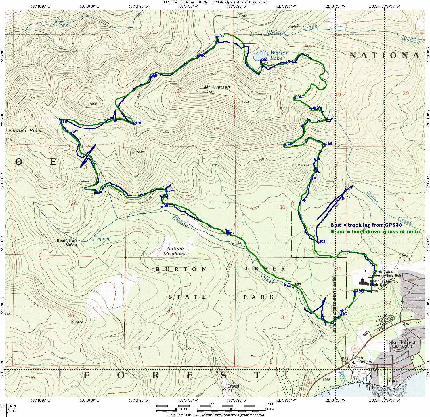
Map 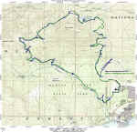 - See a TOPO!
map of the route. (Warning: Large file: 340K)
- See a TOPO!
map of the route. (Warning: Large file: 340K)
Elevation Profile  - See an elevation profile of the route.
TOPO! region and GPS data - If you own TOPO! ("Yosemite, Mammoth, and Central Sierra
Wilderness Areas" CD), you can download the region for this ride and overlay it on
your map. If you own TOPO!GPS, you can also
download the GPS data for the map.
Garmin PCX5 Route - Download the
GPS waypoints for this ride in a Garmin PXC5 format.